My Account Details

ISBN10: 0071604650 | ISBN13: 9780071604659

Step 1 . Download Adobe Digital Editions to your PC or Mac desktop/laptop.
Step 2. Register and authorize your Adobe ID (optional). To access your eBook on multiple devices, first create an Adobe ID at account.adobe.com. Then, open Adobe Digital Editions, go to the Help menu, and select "Authorize Computer" to link your Adobe ID.
Step 3. Open Your eBook. Use Adobe Digital Editions to open the file. If the eBook doesn’t open, contact customer service for assistance.
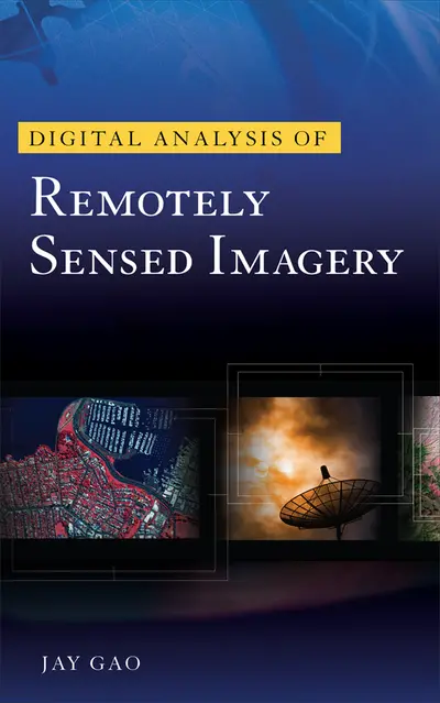
Publisher's Note: Products purchased from Third Party sellers are not guaranteed by the publisher for quality, authenticity, or access to any online entitlements included with the product. Explore the Latest Techniques and Trends in Remotely Sensed Digital Image Analysis! Written in easy-to-follow language with a minimum of technical jargon, Digital Analysis of Remotely Sensed Imageryprovides exhaustive coverage of the entire process of analyzing remotely sensed data for the purpose of producing accurate representations in thematic map format. The book explores cutting-edge techniques and trends in image analysis, as well as the relationship between image processing and other recently emerged special technologies. Filled with numerous references to the current literature, this essential imaging resource paints a vivid picture of the current status of innovative image analysis methods and future directions in the field. Find state-of-the-art information on storage of remotely sensed data…the image analysis system…image rectification…image enhancement…image classification...accuracy assessment…change detection…intelligent image classification…decision tree classification…integration of image analysis with GIS/GPS…and much more. Digital Analysis of Remotely Sensed Imagery features: Comprehensive, up-to-date coverage of remotely sensed image processing Details on the relationship between image processing and other recently emerged special technologies Promising new trends and future directions in image analysis A lavish 16-page color insert Inside this Expert Guide to Analyzing Remotely Sensed Images • Remotely sensed data • Storage of remotely sensed data • The image analysis system • Image rectification • Image enhancement • Image classification • Accuracy assessment • Change detection • Intelligent image classification • Decision tree classification • Innovative image classification • Integration of image analysis with GIS/GPS
Acknowledgments
Chapter 1. Overview
Chapter 2. Overview of Remotely Sensed Data
Chapter 3. Storage of Remotely Sensed Data
Chapter 4. Image Processing Systems
Chapter 5. Image Geometric Rectification
Chapter 6. Image Enhancement
Chapter 7. Spectral Image Analysis
Chapter 8. Neural Network Image Analysis
Chapter 9. Decision Tree Image Analysis
Chapter 10. Spatial Image Analysis
Chapter 11. Intelligent Image Analysis
Chapter 12. Classification Accuracy Assessment
Chapter 13. Multitemporal Image Analysis
Chapter 14. Integrated Image Analysis
Index
Need support? We're here to help - Get real-world support and resources every step of the way.